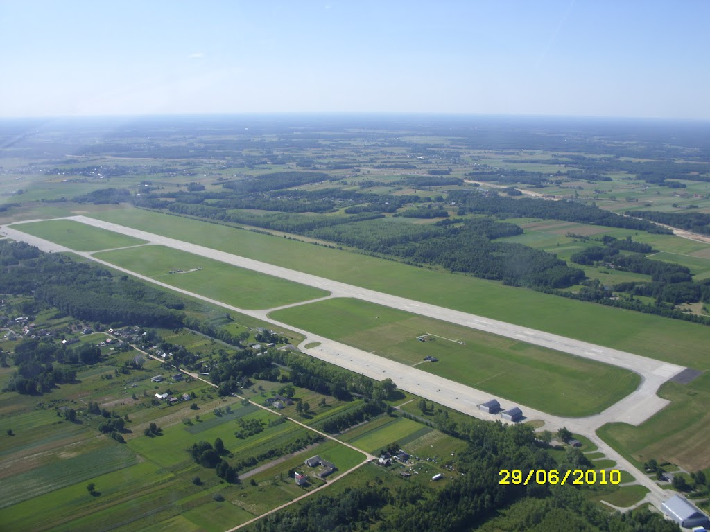
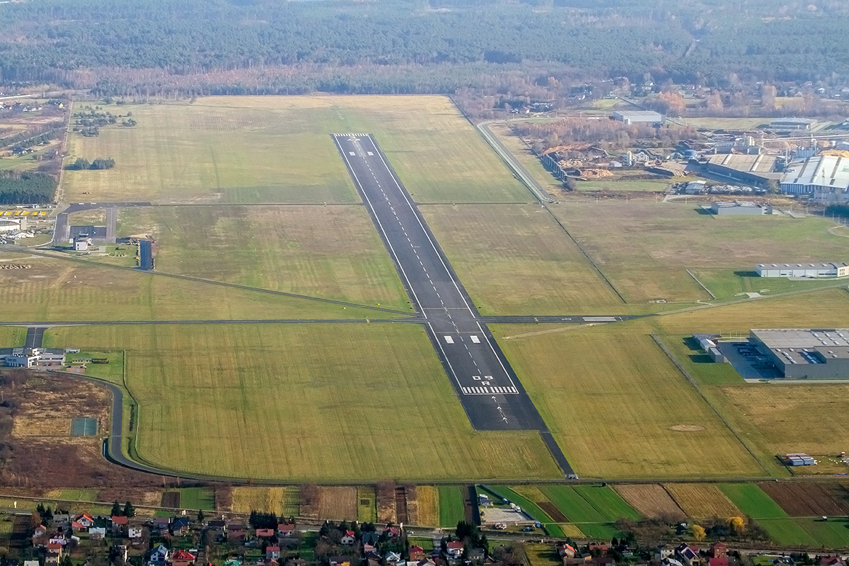
Poznań-Kobylnica
Opis
- Inne oznaczenia / Other Names
- EPPK, Ligowiec
- Status
- Lotnisko użytku publicznego - niepodlegające certyfikacji / Aerodrome available for public use - not subject to certification
- Współrzędne / Coordinates
- N52°26'03.9" E17°02'39.1"
- Radio
- Kobylnica-Radio 122.905
- Elewacja / Elevation
- 281 ft
- RWY
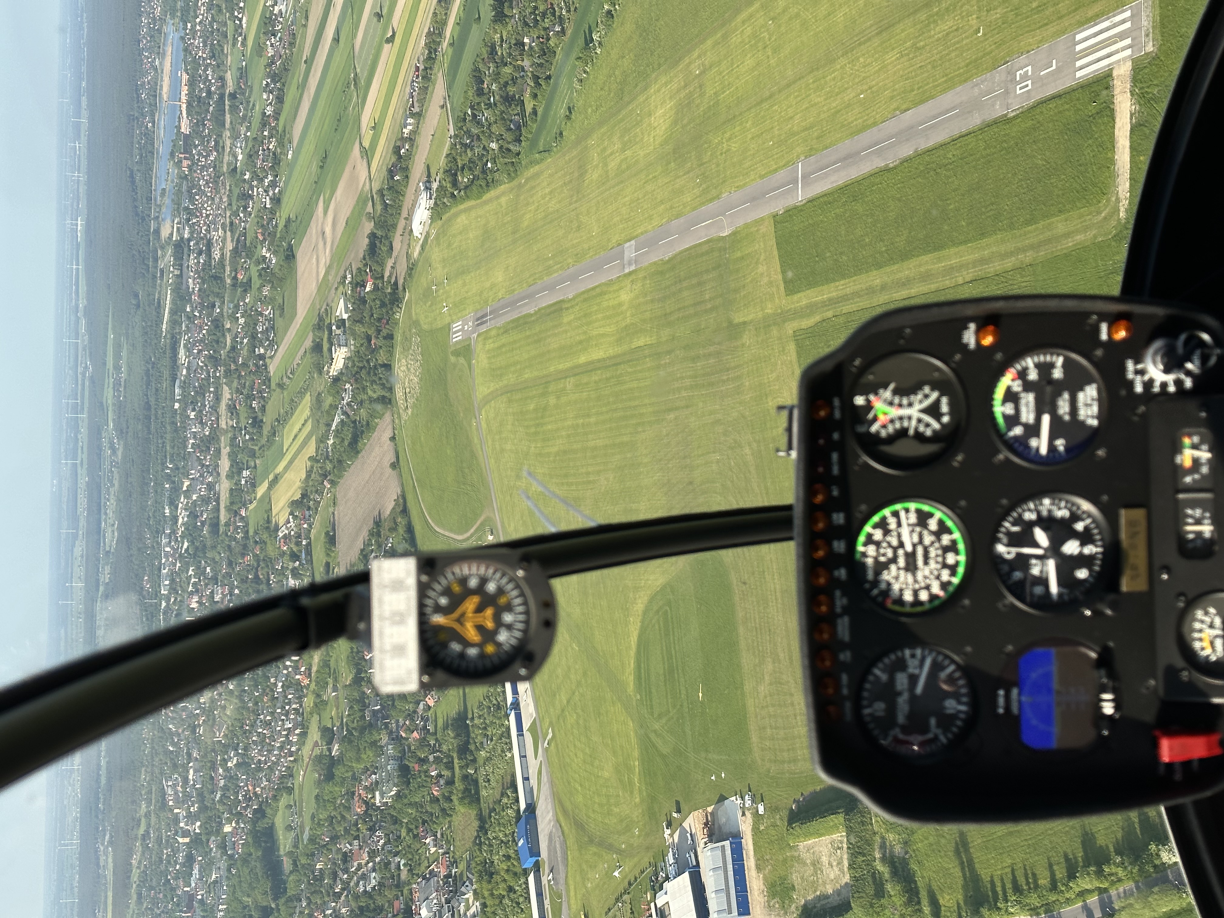
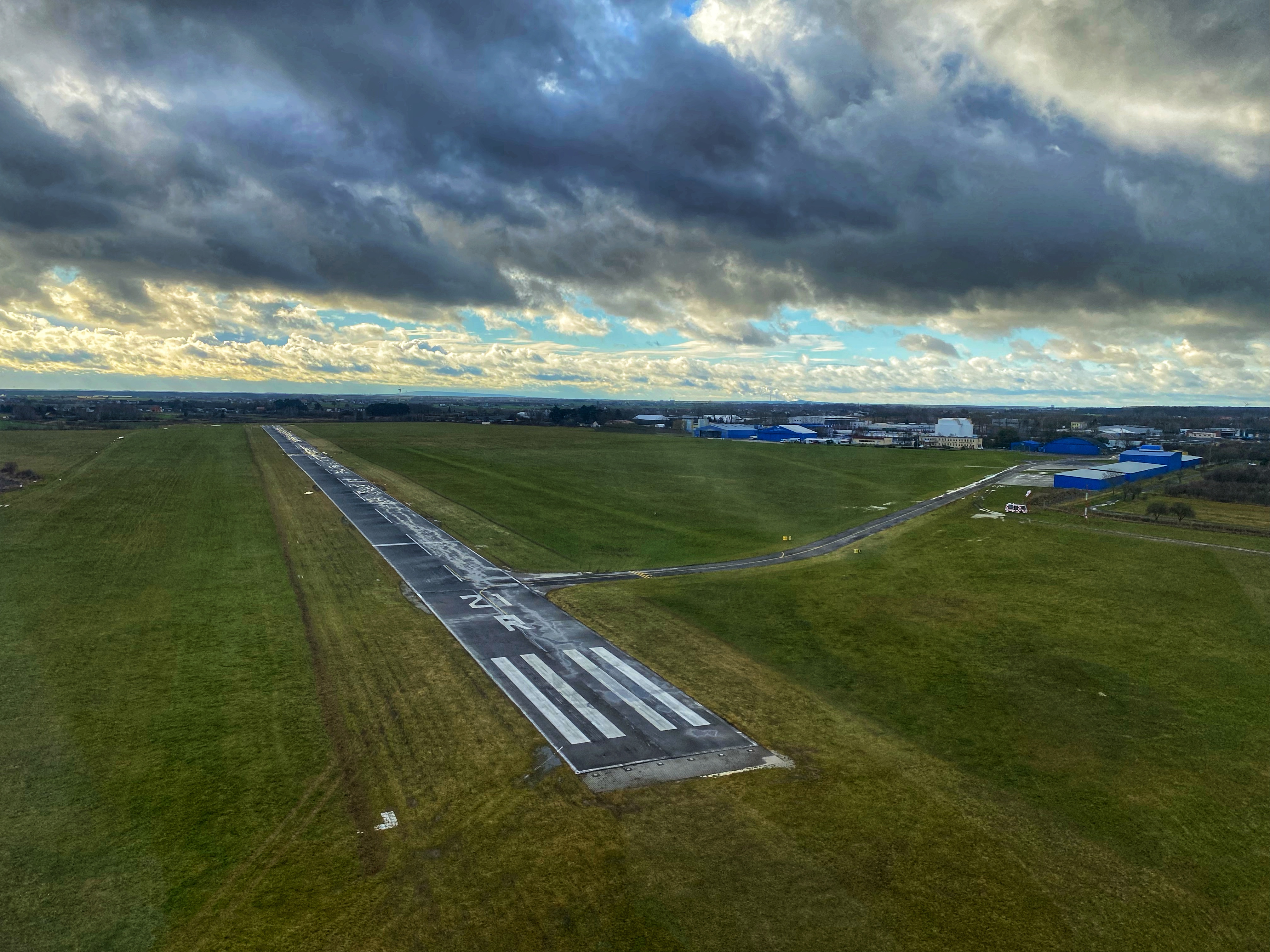
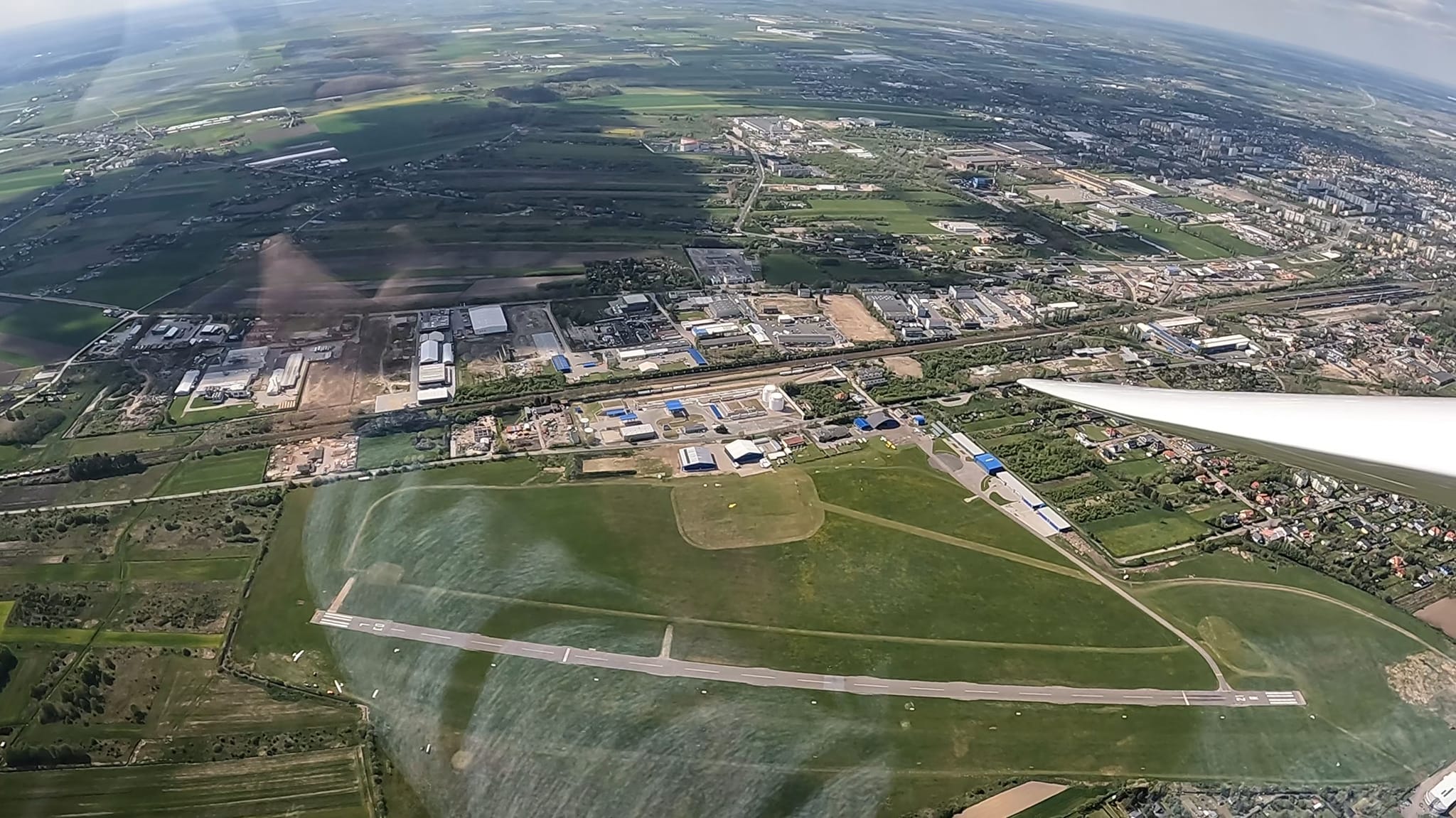
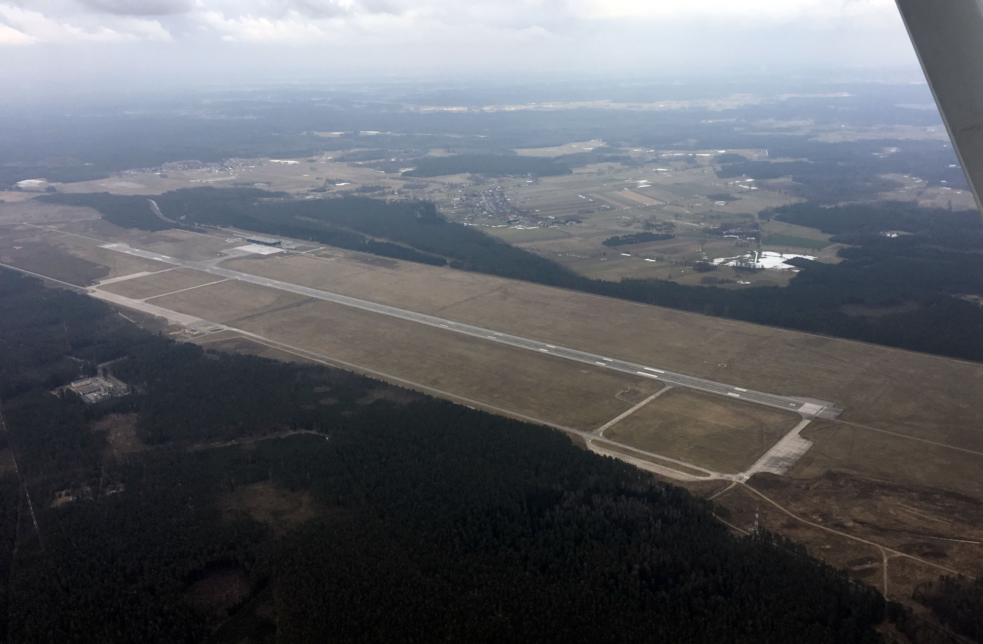
- 064/244 (07/25), 750 x 100 m, N52°26'03.9" E17°02'39.1"
- Kontakt / Contact
- SKYCAMP Sebastian Dratwa +48 602 422 694. Paliwo (AVGAS) LARS: +48 539 029 759, office@helicenter.pl
- Uwagi / Caution
- Pas trawiasty. Statki powietrzne z napędem wykonują północny krąg nadlotniskowy nie wyżej niż 1600ft AMSL. Nr rej. ULC 2. UWAGA: ATZ EPPK pod TMA Poznań NORTH i przylega (od SW) do CTR EPPO. EN: Grass RWY. Northern traffic circuit for powered aircraft not higher than 1600ft AMSL. WARNING: ATZ EEPK below TMA Poznań NORTH and adjecent (SW) to CTR EPPO.
- AIP
- https://www.ais.pansa.pl/vfr/pliki/EP_AD_4_EPPK_en.pdf
- Link
- http://lotniskokobylnica.pl/

Aktualizacja: 10.02.2024
Aktualizacja: 12.08.2022
Aktualizacja: 10.06.2022
Aktualizacja: 24.05.2022
Aktualizacja: 13.02.2022